
Navigation
Navigation service consists of different radio communication aids, which help aircraft to navigate in the air and assist during landing.
For navigating in the air, aircraft in flights need to know accurate information regarding their position and the fixed points to head for. Wherever good navigation networks are available, flight crews can navigate in the required direction without continuous assistance of air traffic controllers.
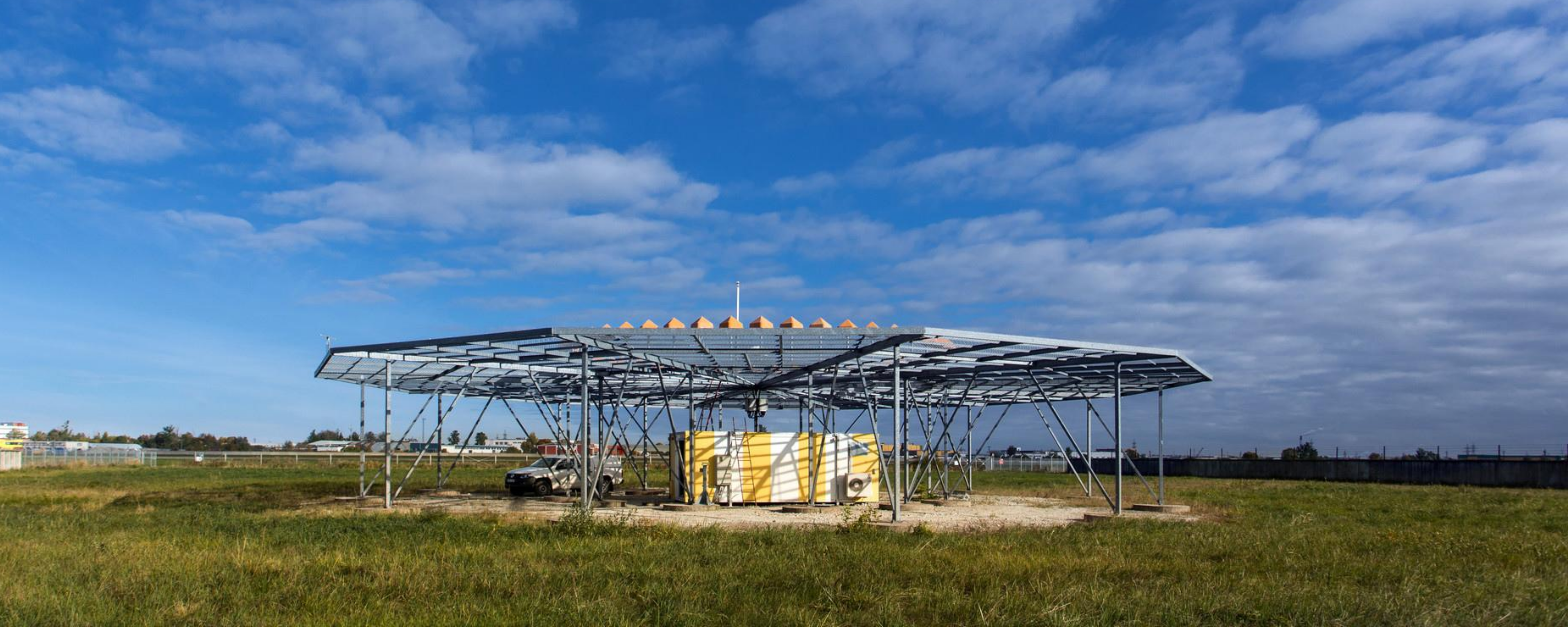
The information required for navigating can be provisionally divided into two parts: direction and distance from a known point. Among others, this information is transmitted to aircraft from the ground-based network of navigation aids, which, in case of Estonia, consists of direction beacons: VORs – VHF Omnidirectional Range, NDB - Non-Directional Radio Beacons and DMEs – Distance Measuring Equipment). NDBs and VORs are gradually becoming “things of the past” - they are still used at aerodromes only.
The airborne equipment receives information from several navigation aids simultaneously and, based on it, determines the aircraft position in the air.
The following aids are used as navigation beacons on airways:
- VOR – VHF (Very High Frequency) Omnidirectional Range - provides aircraft with information regarding direction, i.e. radial to a radio beacon;
- DME - Distance Measurement Equipment - is an aid enabling to measure the distance between the aircraft and the radio beacon;
- NDB - Non-Directional Radio Beacon continuously transmits RF signals enabling aircraft to determine their position;
Air traffic controllers can also use a direction-finder situated in the vicinity of the airport:
- DF - Direction Finder - provides air traffic controllers with the direction to the aircraft in their airspace, i.e. its azimuth from the radio receiver at a certain time moment. It works only on designated frequencies;
Instrument Landing System is used at major airports during landing. This system assists pilots during landing and nowadays thanks to the system it is possible to land even in poor weather conditions. ILS - Instrument Landing System. Usually it consists of three parts;
- LOC – Localizer - continuation of the runway centreline in the air;
- GS - Glide Slope/Glide path - provides approach/descent slope;
- DME - Distance Measurement Equipment - provides aircraft with distance from a beacon
Markers are situated at fixed points to determine position along an established route to the runway centreline. The indications transmitted by them are in voice (tones with different frequencies) and in light (to aircraft onboard indicator). Nowadays it is not very widely used. Instead of markers DMEs are used, because DME provides aircraft with more information and it is more precise;
GNSS (Global Navigation Satellite System) elements are used more and more - presently the most used satellite based navigation systems are GPS and Galileo. GNSS procedures are based on such systems like ABAS (Aircraft-Based Augmentation System), SBAS (Satellite-Based Augmentation System – WAAS, EGNOS), GBAS (Ground-Based Augmentation System).