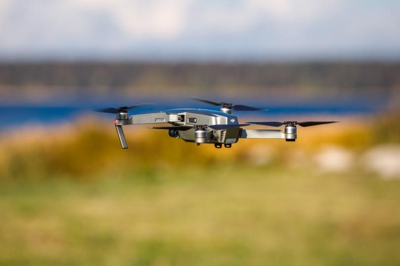
Drone flying rules to become simpler
Starting from March 2nd 2023, the obligation for operators of unmanned aircrafts to coordinate their flights with the Estonian Transport Administration will be gone, but they will have to follow restrictions in certain areas, which can be seen in the new map application on the Estonian Air Navigation Services website.

“The coordination obligation will be gone, because when establishing new areas, various risks have been thoroughly analysed in advance and as a result, rules have been laid down in each area so that flying can take place safely,” explained Mait Rõõmus, chief inspector of unmanned aircrafts at the Estonian Transport Administration's aviation operations unit. Currently, a request for approval must be sent to the Estonian Transport Administration at least three working days before the planned flight, which is very troublesome for the remote pilot.
However, free flying for drone operators will not change and operators must follow the additional information and conditions for flying in the geographical areas established in the airspace, visualised in the newly created “Estonian Drone Map” application. “In some locations, for example, the operator has the obligation to obtain permission from the air traffic control unit before the flight or to inform the airport's flight information service unit about their activities,” said Madis Prink, project manager of the business development department of the Estonian Air Navigation Services AS.
The prerequisite for flying a drone is that the operator of the unmanned aircraft has registered themselves as an operator and follows the rules of flying the open category, taking into account the restrictions displayed in the application. These restrictions may, for example, relate to the horizontal or vertical boundaries of the area or the obligation to call the responsible air navigation service unit.
“Before flying a drone, you must always check the height limit, the lateral extent of the area and other rules,” says Mait. “Compliance with the requirements is important to maintain the level of flight safety, which in turn ensures a safe environment for all of us.”
According to Madis Prink, the geographical areas displayed in the application make the work of both drone operators and air traffic control much easier. “Most flights no longer require pre-flight coordination and only special category unmanned flights require the approval of the Estonian Transport Administration,” he explained. “Under certain conditions, permission must be requested from the responsible air traffic control unit before starting flight operations and operators will see this information in the application.
“At Estonian Air Navigation Services, we deal with the development of unmanned air traffic management systems, or U-space, on a daily basis, and in the future the user application for drone pilots will be further improved and the functionality for applying for a pre-flight permit will be added, among other things. The goal is to make the entire system as user-friendly as possible and all this with flight safety in mind.”
In order to fly a drone, it is still necessary to apply for a permit in autumn 2022 in the areas established by the order of the Government of the Republic of Estonia for the purpose of security, safety and environmental protection. Flight restrictions apply to nature reserves, areas set by the Police and Border Guard Board, such as near the national border and areas established for safety and security purposes over various objects under the jurisdiction of the Ministry of Defence and the Ministry of Justice.
The geographical areas are marked on the new map application for drone operators, which can be found at https://aims.eans.ee/droonikaart. In addition to the areas, you can also find the contact details of the authority that grants the necessary permission to fly in them in the application. The new map application is informative and only displays permanent geographical areas. There is no information about possible temporary flight restrictions. Therefore, the operator and remote pilot still have the legal obligation to check the NOTAM (Notice to Airman) information on the aim.eans.ee site before starting flight operations and to monitor the establishment of temporary flight restrictions.
The new map application will replace the popular drone app (drooni.app) that drone operators have been using so far.
You can register as an unmanned aircraft operator here: https://lois.transportiamet.ee/
The new map application can be found here: https://aim.eans.ee/droonikaart/
Read more about the rules for flying drones here: https://transpordiamet.ee/droonid